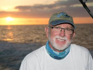
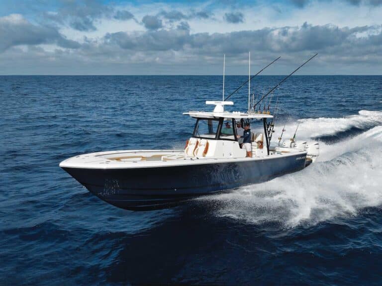
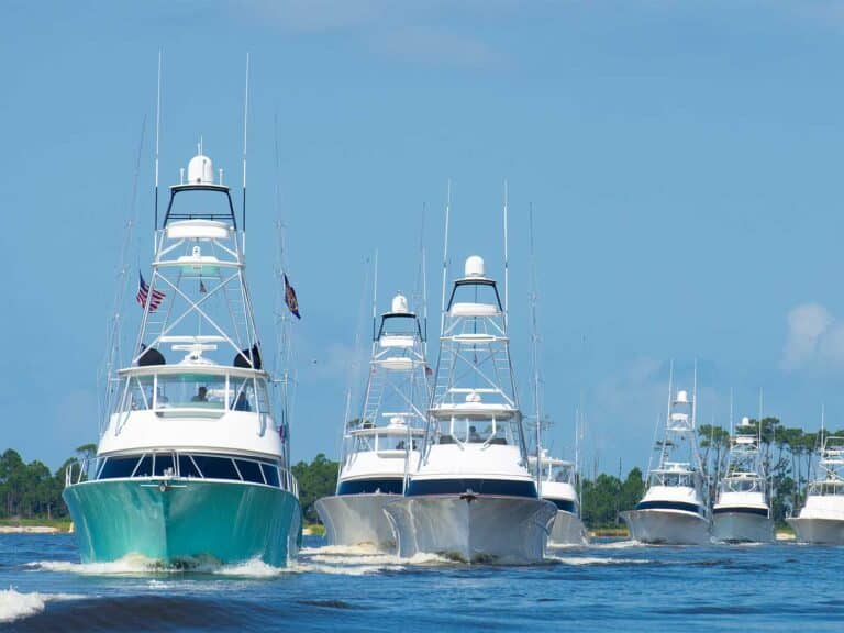
Steve Baksa, owner of the Sarah B truly enjoys having the latest and greatest technology aboard. Two new systems, one from GeoEye and the other by Furuno, help this team find and track each and every fishing spot, right down to actually recording oceanographic data on every catch.
The GeoEye SeaStar SPORT software analyzes satellite imagery and oceanographic data. Those data include sea surface temps, currents, plankton concentration, sub-surface temps and estimates on salinity and thermocline depths. Users are able to log all of the data for every bite, catch of bait sighting with a one-button capture.
“Beyond just a picture, our system provides the actual data value for every pixel in the image. For each fish catch you can grab those data and add other information like lure and techniques as well. Building up that database is key to using the analysis tools in the software,” said Matthew Galston, Senior Sales representative at GeoEye.
The service is PC or web-based and can be used on a laptop but according to Galston its ideal application is through the vessels satellite communications so updates can be received periodically throughout the day, as does the one aboard the Sarah B.
Over time the company says captains develop a “signature” of their catches and the conditions in which they occurred. The AutoCast tool in the software analyzes multiple layers of data and displays in near-real time where that signature is occurring.
“We get you in the ballpark using space-based sensors and advanced data processing tools. Onboard sensors get you to a more precise location. On the Sarah B we put Steve in the area where he has the highest probability of finding bait and or fish, his SST and WASSP sensor further fine-tune the probability,” said Galston.
Wide Angle Sonar Seafloor Profiler (WASSP) is a multibeam sonar manufactured by Electronic Navigation Ltd. and distributed by Furuno U.S.A. The system provides 2D and 3D mapping of the seafloor, side scan and water column information. I observed firsthand the precision in which it displays bathymetric profiles.
A multibeam sonar system drastically increases the area of coverage over a single beam. The company indicates that in 100 feet of water a typical single-beam 50khz 1kW 20-degree transducer will cover a 35-foot area. The WASSP 120-degree beam covers 230 feet of the ocean floor. It’s a Windows System that uses a standard mouse and its split-screen feature allows multiple displays on a single screen.
The mapping capabilities of the WASSP are unique. The Navigator feature continuously records and builds a target and contour history. The more you transit an area/channel, the more precise the maps become.
Baksa and Steve Bradburn, Assistant Product Manager at Furuno U.S.A., had been out on previous occasions and after repeatedly transiting the same route the WASSP had created an incredible 3D capture of every shoal and nuance of that section of the channel.
