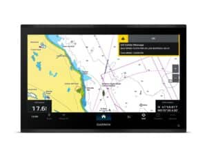
You’ve seen shaded sonar maps in chart plotters before—Furuno and Simrad have had them since 2008. But certainly not with the detail coming out today in offerings from Navionics’ Platinum and Garmin’s BlueChart series.
Several years ago, plotter manufacturers enabled their systems to match GPS data to sonar points, assigning an exact spot on the globe to each sonar reading. You know that from your ability to tap a sonar target and put a waypoint on your chart. The next thing cartographers and electronics makers did was enable the systems to record that data in a continuous stream and upload it to the chart maker’s systems. Once in their systems, they’d incorporate your readings into charts you could download. Suddenly, you could read contours to as little as 1 foot. Yep, your sonar is that good.
Some mapmakers required you to allow them to own that data if you were to get the benefit of it. Some fishermen resisted revealing that sonar data to the public, so Humminbird created its own sonar-recording system that built these sonar charts privately, right inside the display. Some competitors met Humminbird’s example but you had to opt out of shared data and pay a subscription fee to convert it to your own chart. But many fishermen just kept recording data and uploading it without even realizing it.
The bottom line—ahem—is, that after 10 years of mapping the sea and inland waterways, there is a heck of a lot of sonar data out there that has never existed before, and it would be surprising if at least some of it wasn’t in the new Platinum+ SonarChart Shading or Garmin’s BlueChart G3 Vision. NOAA’s more recent multi-beam sonar-mapping data is the main basis of these charts, and while private sources are cited for some of it, some of the data could also be yours.
There are all sorts of businesses mapping the ocean, such as oil companies. Other sources not identified are likely oceanic data from international groups and universities too. But there is more to this new charting feature than the secret sauce. Displaying bottom features in 1-foot contours is a data invasion that would’ve overwhelmed chart plotters’ brains 10 years ago. Now, the solid-state memory and lightning-fast microprocessors munch it leisurely and glide it across your screen like it was a streaming movie. As partners, Garmin and Navionics have connected the dots—or rather, contour lines—with this new feature, to create bottom-contour shading. And it is cool.
The whole of the seven seas aren’t done yet, but certainly the most highly trafficked and storied fishing grounds are ready: The Bahamas, the Gulf of Mexico, southeast Florida and more.
Learn how the pros use their electronics more effectively.
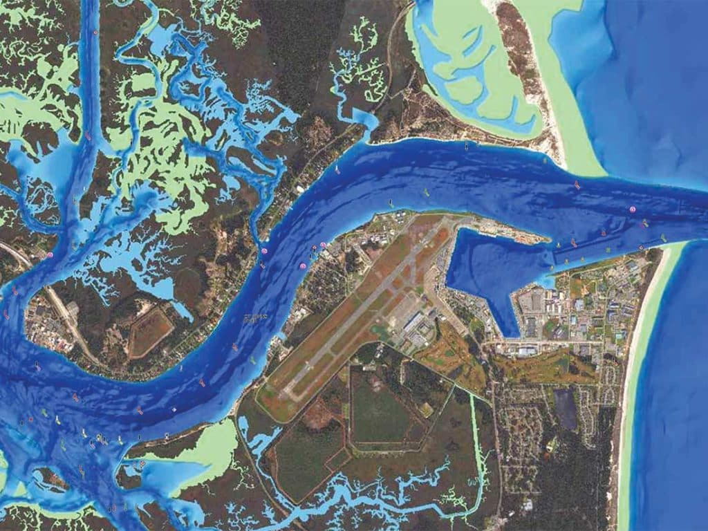
If it’s a cool feature to use in deep water, it’s awesome in coastal waters. And, in case you moonlight as a bass fisherman, inland lakes and rivers as well. When navigating to and from port, tricky waters become easier to work thanks to Garmin’s ability to add custom shading, say, in red for obstacles that could ground you.
While the look of the new charts is astounding, their capability in allowing your chart plotter to map a course quickly by just tapping a destination and “go” is even more amazing. The brain inside your chart plotter notes your destination, then crunches through depths, widths, distances and even bridge heights to paint the most efficient route to your destination.