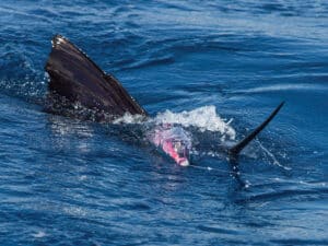
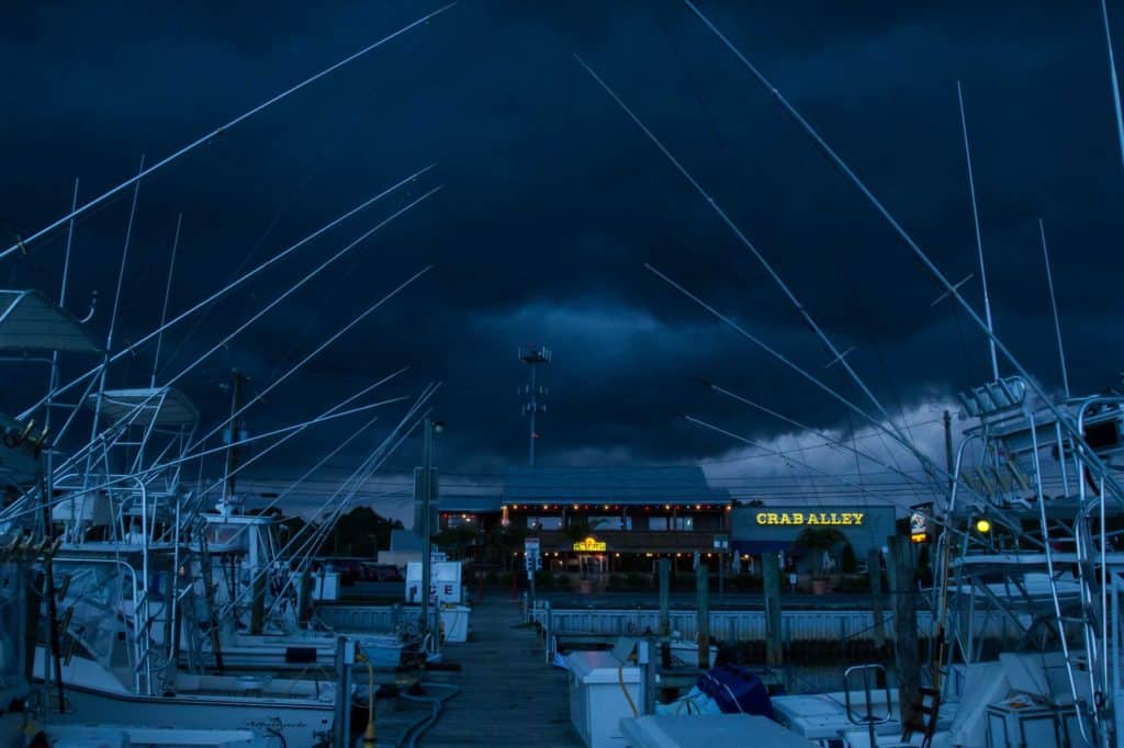
Preparing for a voyage over large expanses of water can be a daunting task. Making all the necessary reservations, provisioning the boat, bringing the right bait and tackle, and making sure all the maintenance, fuel and other details are taken care of takes many hours of effort.
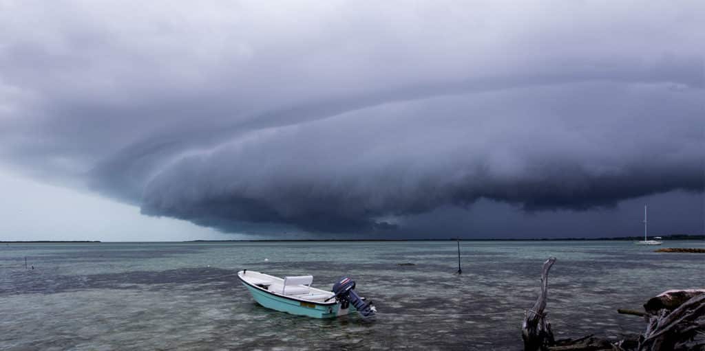
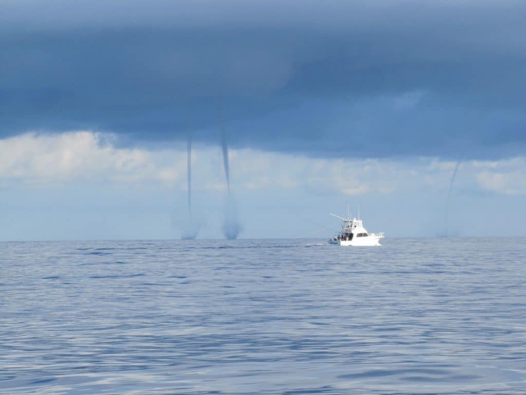
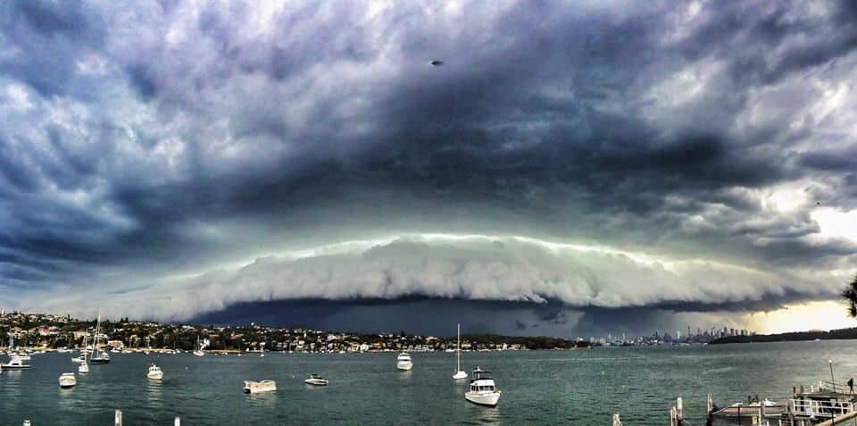
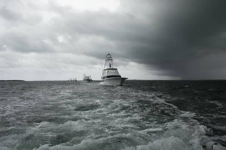
Luckily, the Internet solved one problem for us a few years ago: deciding the most opportune moments to untie the boat and get underway. By bookmarking a few key websites and learning to understand what all the information means, there is no reason whatsoever to get beat up by the weather when making a crossing anymore. I still scratch my head as I watch boats arriving at various ports of call in crappy conditions, when the prudent move of waiting just a day or two would have delivered calm seas. But before you get to the weather website tools that can help you keep from beating up yourself and your boat, check out some of the unique weather lingo.
Understanding What It All Means
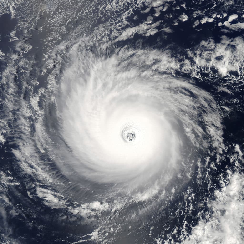
All the weather information you can get is vital in deciding when to go. Watch for similarities in the forecast models from different agencies. If they are in agreement, this usually means you can make a confident decision on your departure date. Obviously, the weather changes constantly, so checking frequently is a must, especially as you approach your estimated departure date. Take the time to acquaint yourself with the basic symbols and terminology. Keep in mind that most time stamps ate in GMT,so a chart that is valid at 1800 GMT is 1200 or 1300 on the East Coast of the United States, depending on daylight savings or standard time. Visit this Wikipedia page to get up to speed on lingo.
Helpful Internet Weather Tools
• Buoyweather offers a premium version that gives you a seven-day marine wind and wave forecast for any latitude-longitude location. The website also offers sea-surface temperature, ocean currents, chlorophyll charts and simple-text forecasts. You can name and save these spots into the site’s favorites for recall at any time. The graphics and detail are superb. The flexibility to click in three-, six-, 12- and 24-hour increments, and even animate the sequence are valuable tools.
• Naval Oceanography Portal is an unclassified government site has a plethora of information. Click on Oceanography Products, then the Global & Regional Ocean Wave Prediction Charts (WW3). There are four tabs: Global Areas, Tropical/WW3, Regional Models and Ensemble Models. Click the Ensemble tab and then the GOMEX picture. There is a list of options that forecasts out 10 days. One of the most useful lines is the Probability of Significant Wave Heights > 4 feet. Click “all” and scroll down to view each day. You want to see lots of white. Keep in mind that the time stamp is GMT. You can also find lots more information on other tabs, including surface wind streamlines, -significant wave height and direction.
• Windfinder lives up to its name. Click on the interactive map to access wind and weather forecasts around the world.
• WindGURU is available in two versions: Windguru (free access) and Windguru PRO (paid access). Most forecasts and information on this server are free, but some require the PRO fee. From the homepage, find the Spot Menu tab to access the choices for Geographic Area, Country, Region and Spot.