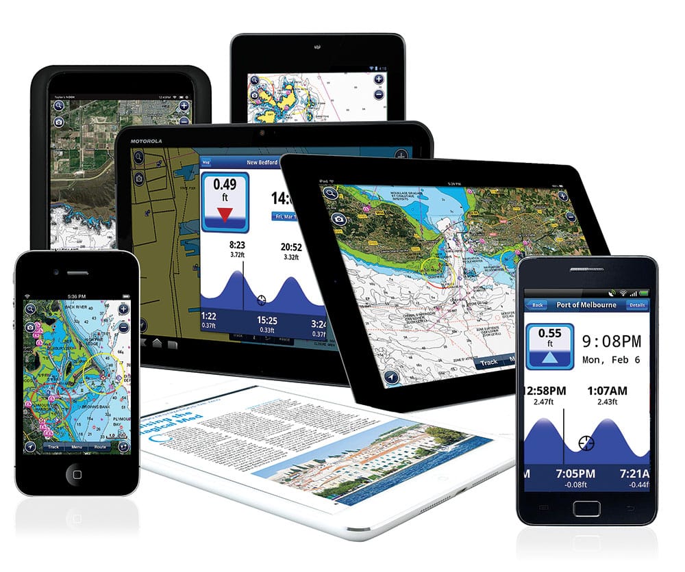
Navionics Apps
The 2014 Miami International Boat Show drew several innovations and good news from the navigation electronics industry. New charting capabilities will make charts more accurate, more fishable and easier to upgrade, and they allow you to correct or enhance bottom contours. But the bad news is that only about one in 10 users of digital selective calling-equipped VHF radios are actually enjoying the full capability of the system.
MMSI Miasma
If you have a DSC-equipped VHF radio (you probably do if you bought one in the past 10 years), chances are you aren’t getting any benefit from the far-superior ship-to-ship, ship-to-shore communications or the nationwide Rescue 21 system, which turns your radio into a virtual Earth-based EPIRB or private VHF call line.
If you didn’t read the packaging or manual from your radio, you didn’t see the Mobile Maritime Service Identity number application and didn’t know there was a reason to file for one. So take a peek at your radio. Is there a red trapdoor over an SOS button on the face? If so, you have a digital select calling radio. With the MMSI number, it can be used to make private VHF calls to other DSC radios using the MMSI as a quasi phone number.
That’s cool enough, but when you add the Coast Guard’s nationwide Rescue 21 network that is set to receive your DSC SOS — complete with latitude and longitude__ supplied by a GPS interface — you have the most reliable rescue communication system since the EPIRB, and it offers two-way communication.
Once you touch off the SOS call, it repeats for as long as the VHF has power. And if you are out of range of shore-based rescue, any DSC-equipped radio will receive and repeat the signal every time it is broadcast. This means that in Alaska, the one place where the terrain of the seas and fjords minimizes Rescue 21 capabilities, your SOS can actually transmit around corners, as long as there are other radios in position along the waterways.
According to the Coast Guard, the largest barriers to registration are both mechanical and administrative. In 2011, the Coast Guard noted that about 90 percent of DSC calls don’t have location data because they weren’t connected to a GPS. Further, about 60 percent of the DSC calls were from unregistered radios, meaning the data was virtually useless. Not much progress has been made. By some estimates, fewer than 10 percent of all DSC radios are activated with an MMSI number.
That’s a shame. Registering your MMSI number is simple and puts your vessel, radio number and ownership information on file. When a DSC SOS is received, the Coast Guard uses the registration information to check with related parties regarding the status of the vessel, where it departed from, and who may be on board so they can effectively mount a rescue.
The mechanical barrier is minimal. Each multifunction display has a National Marine Electronics Association 0183 output that is a few colored wires. Each radio has a matching 0183 input cable. Butt connectors make the magic; an MMSI number makes the magic useful.
Your radio has a serial and model number. Record them, and visit boatus.com/mmsi to register for your number. Then input it into your system for a coast-to-coast safety net.
Free Charts
The Coast Guard announced that it will no longer print charts for mariners’ use. It will give you PDFs of the charts you need, and you can print them in booklet form at home or have a printer print the full chart on a rollable, seamless paper chart.
Also available for free are downloadable Raster Navigation Charts from the National Oceanic and Atmospheric Administration that your multifunction display can read. What you get is a chart that gives you all the updated data displayed on your screen to look just like traditional NOAA paper charts. A lot of experienced skippers prefer the look, but it has drawbacks. For one, if you operate your display in a “course up” mode and you’re heading south, your chart will be upside down, so will soundings, place names, buoy information and all written data on the chart. That’s no big deal on the vector charts typically resident on most multifunction displays or available from Navionics or C-Map, because the written information holds its upright orientation as the chart rotates with your motion.
The great benefit of the free RNCs is just that: They’re free. And with daily downloads, you can update them for the latest changes.
Multifunction display manufacturers, such as Simrad, Raymarine and Garmin, are now making their latest systems capable of displaying RNC charts beside any other chart in your system.
For more information, visit nauticalcharts.noaa.gov/mcd/NOAAChartViewer.html.
User-Generated Chart Systems
Did you ever think you would be the one charting the path that others follow? Probably not, but two companies are making it easy for you to do just that. Today’s chart plotters are not just reading contours and reporting them to you, they are recording contours with a layer of GPS data that enables you to integrate and align the far-greater detail of your sonar and/or side-scanning readings onto your resident charts.
In short, your side-scan and down-looking sonar data are captured by your multifunction display, and written to an SD or micro SD card. Each sonar data point has a corresponding latitude and longitude. Pull the card from your system, plug it into the reader on your laptop, and upload the data. The system then merges it into the most up-to-date vector chart, adding contour detail that was never available before. You can download that back into your chart plotter the next day.
**Genesis Insight **
Charting for Simrad
The trouble with crowdsourced community data is that it’s public. Navico’s Simrad and Lowrance-capable Insight Genesis system doesn’t have to be. In fact, your data is private by default. You can opt to share, but what fisherman worth his salt would? Insight Genesis has an annual subscription fee of $99, which offers unlimited sonar upload and chart download, and the capability to customize the way charts display contours, depth shading, and vegetation — great for distinguishing among grass, mud, sand, and rock.