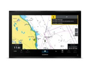
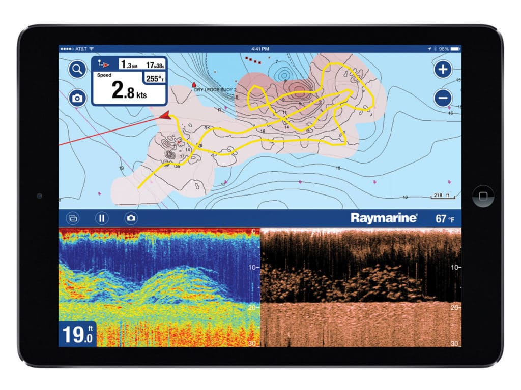
The technology is available, and well, you might already have everything you need to do it. Today, Raymarine, Simrad, Garmin, Navionics and C-Map offer the power to record your own soundings and convert them into a highly detailed bottom chart with contours down to 1-foot increments.
This ability is most valuable when getting to 1,000 feet requires passing through sometimes shallow Intracoastal Waterway areas or moving past poorly sounded reefs or shifting bars. But are 1-foot contours in 1,000 feet of water of dubious value?
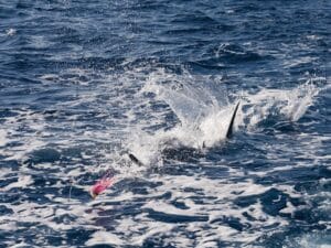
Say you’re trolling a plain that ranges from 1,000 feet to 1,020 feet over a distance of several hundred yards. On a standard chart, that incline might look gradual, but as you pass over it with your sonar locked on the bottom, it records every ping and its corresponding GPS location to a micro-SD card. Upload the data to a compatible mapping system and, in less time than you can really guess, the system will churn out an incredibly detailed chart of the bathymetric features from your trip. Imagine looking it over and noticing that what you thought was a gradual incline from one depth to the other actually happened all at once, stepping from 1,000 to 1,020 feet somewhere in the middle of the plain. No wonder there’s an upwelling there and a weed line over it that produced a school of gaffer mahimahi!
The process for updating custom charts from your trip is even easier with Wi-Fi uploads direct from the display to their cloud-based charting support.
Navionics
The oldest name in bathymetric charting for consumers, Navionics mapped the world first. Users can add navigation notes to their charts for all to read, or keep them private if it’s a matter of a winning fishing spot. A recent user marked two uncharted rocks en route to a popular destination and noted: “I dived down on the rocks just a meter or so below the surface. It was scarred, with many indications of metal striking them.” Good information to have.
C-Map
As of this printing, C-Map charting systems haven’t been enabled to incorporate bathymetric soundings from user devices, but they are capable of storing the data and displaying it on its own. C-Map recommends using a split-screen view to show the data next to a standard chart.
Navico and GoFree
Navico, via its online GoFree store, makes Insight Genesis custom charts truly free. It’s compatible with Simrad NSS evo2 and NSO systems, and practically seamless, offering direct display-to-cloud Wi-Fi data transfer. You can upgrade the system to provide additional chart information, such as weeds and bottom features. Choose to make your chart data public, or play it close to the vest and keep it private.

Garmin Quickdraw Contours
At last, Garmin display owners using BlueChart series charts can create custom mapping, and it’s done on your own machine so it’s not shared online. It’s free, and Quickdraw lives up to its name, creating new detailed charts as you navigate that are saved to any micro-SD card. Quickdraw will be standard on any 2016 echoMap product and available as a free firmware download to existing owners.